This Metrolink journey from Union Station in downtown Los Angeles to the Newhall train station took place on 10/11/15.


This Metrolink journey from Union Station in downtown Los Angeles to the Newhall train station took place on 10/11/15.
On 9/24/17, Snapshots L.A. visited the Grand Central Market in downtown Los Angeles. This video presents a variety of snapshots taken on that day set to a calming soundtrack and provides a historical record of moments witnessed.


The east Los Angeles neighborhood of Boyle Heights originally included a section called "Brooklyn Heights" on its northern side, centered on Prospect Park. A commercial area developed along "Brooklyn Avenue," which has been since renamed "Cesar Chavez Avenue." Historically, diverse immigrant ethnic groups (Mexican, Jewish, and Japanese) occupied the neighborhood. Today, Boyle Heights continues to change, undergoing a slow gentrification, but the avenue continues to retain and project a Mexican-American presence.
.png.jpg)


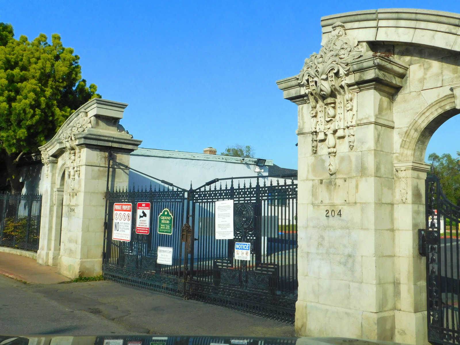
While not a comprehensive documentation of the neighborhood, this video challenges you to watch and feel the "Brooklyn Avenue experience" by driving both east and then west along the street, along with a brief circling of historic Evergreen Cemetery.

For more detailed information on Boyle Heights, this is a link to the Wikipedia page:
https://en.wikipedia.org/wiki/Boyle_Heights,_Los_Angeles
-002.jpg)
.png.jpg)
.png.jpg)
.png.jpg)
Driving in L.A.? Drive safe!
Watch this incredible Santa Monica Bay Sunset from the palisades down to the boardwalk. Vibrant colors change like magic. Clouds distort like bubbles in the bath. People gaze in wonderment like children at a carnival.


If you look real close facing east-ish, you can spot Century City, the Park LaBrea apartments, the Beverly Center Mall, the Ninety Two Towers at the west end of the Sunset Strip in West Hollywood, and the downtown L.A. skyline in the far distance.

Facing west-ish, you can spot the Santa Monica Bay itself as well as the beach cites all the way down to a hazy Palos Verdes Peninsula.

A vibrant sunset appears later in the video with an array of colors certain to give you a pause, a tingle, perhaps even a meditative moment.

Of course, people watching figures prominently in this brief glimpse of the Getty.
Enjoy!

https://en.wikipedia.org/wiki/Getty_Center


The other day a rock slide occurred on Topanga Canyon Road, closing the southern entrance and exit to the somewhat "rural" village of Topanga Canyon, known as one of the last outposts of the classic Southern California bohemian hippie lifestyle.
.png.jpg)
.png.jpg)
The other day a rock slide occurred on Topanga Canyon Road, closing the southern entrance and exit to the somewhat "rural" village of Topanga Canyon, known as one of the last outposts of the classic Southern California bohemian hippie lifestyle.
.png.jpg)
.png.jpg)
We all know that trying to drive from L.A. to Palm Springs at certain times can result in a traffic nightmare. But what do we know about the best times to drive from Palm Springs to L.A.?
.png.jpg)
.png.jpg)
Watching the sunsets from Westward Beach at Point Dume in Malibu can prove to be a genuinely ethereal experience. The "point" at Point Dume marks the top of the Santa Monica Bay crescent shape. Standing on the beach, one can see a northern coastal view not possible from most of the shoreline within the crescent. Add to this a fog covered mountain range and a sunset worthy of a painter's brush, then you'll find yourself in a little taste of paradise.

I have frequently driven a self-guided tour from Santa Monica, along Pacific Coast Highway to Topanga Canyon, to Mulholland Highway, into Ventura County, and stopping at Point Mugu. My return trip usually includes a drive along Westward Beach Road just south of Zuma, a jaunt through the residential areas of Point Dume, and a reacquaintance with Pacific Coast Highway to facilitate the drive home.

California Historical Marker on the site reads:
NO. 965 POINT DUME - On November 24, 1793, English explorer George Vancouver, commander of an expedition to determine the extent of settlement of the northwest coast of America, named this rocky promontory, Point Dume, after his Franciscan friend, Father Francisco Dumetz, at Mission San Buenaventura. Point Dume is the western terminus of Santa Monica Bay and has been an important landmark for navigators since Vancouver's voyage in 1793.

I recommend frequent visits to Point Dume. Check out the cove where the final sequences of THE PLANET OF THE APES (1968) were filmed and where the beach was clothing-optional in the 60s and 70s. Watch out for tides if you're wearing street shoes.

Driving in L.A. Drive safe!


Gardena Willows Wetland Preserve (FASTER VERSION)
Growing up in Gardena, California, an incorporated city in Los Angeles County south of downtown, we would refer to this "wildlife" area around Artesia Boulevard as the "swamps." Older siblings of my peers would romantically recall the "swamp wars" of days past when rowdy teenagers would participate in minor gang wars in this urban wilderness.

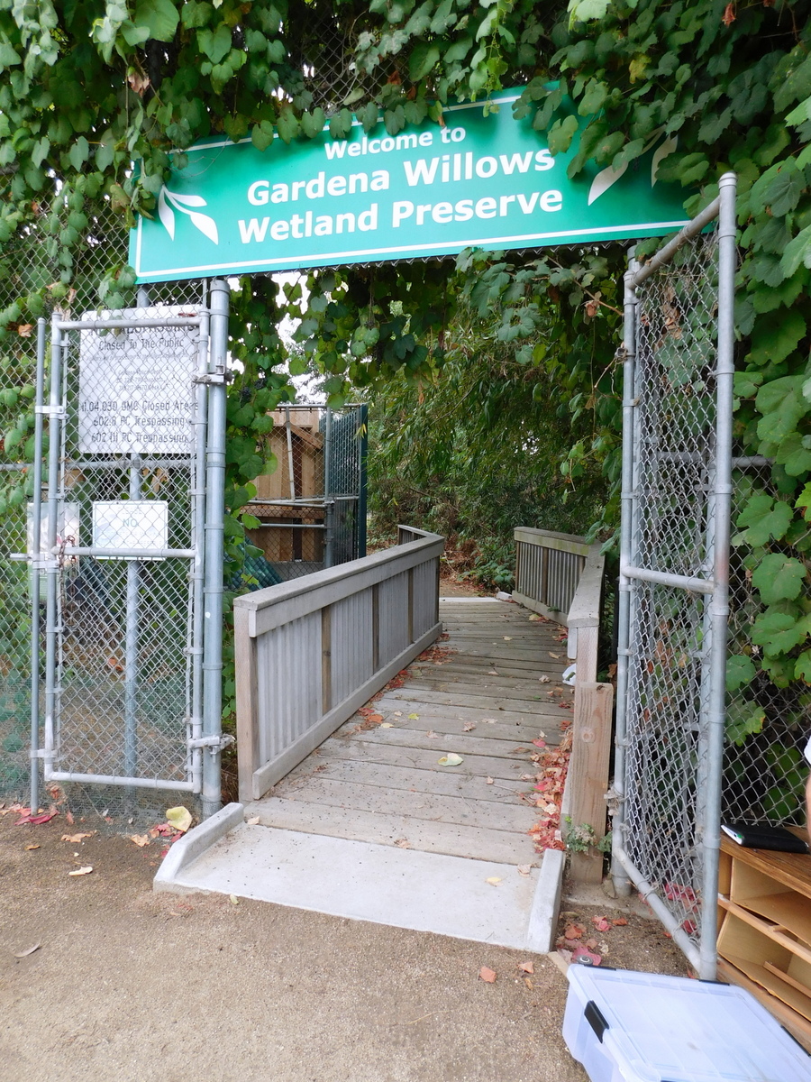
Photographs in this video were taken on Sunday, October 14, 2018 while on a tour hosted by the Friends of Gardena Willows Wetland Preserve, Inc. The skies were overcast that day, allowing for soft lighting without harsh shadows or blinding sunshine.

Wikipedia describes the Gardena Willows Wetland Preserve as:
"The Gardena Willows Wetland Preserve occupies 13.6 acres (55,000 m2) of land owned by the City of Gardena, in Los Angeles County, California. The preserve is the last intact remnant of the former Dominguez Slough, an important vernal marsh and riparian forest with riparian zones that once covered as much as 400 acres (1,600,000 m2) of this area, known as the South Bay region. The preserve has 9.4 acres (38,000 m2) of wetland and 4.2 acres (17,000 m2) of upland. The wetlands have a natural depression where water remains for such a significant time that plants and animals not adapted to water and saturated soils cannot survive. The upland, which remains dry outside of the rainy season, supports plants which thrive with these drier conditions. The slough is a part of the Dominguez Watershed, 96% of which is now covered with concrete and man-made structures. Located on the traditional lands of the Tongva, it is believed that these indigenous people were able to commute by canoe around much of the area. Tongva villages were located throughout much of what is now Los Angeles and Orange Counties as well as three southern Channel Islands (San Nicolas, San Clemente, Santa Catalina) as distant as 60 miles (97 km) from the coast of Los Angeles County.


The upland area which surrounds the wetland includes the Perimeter Trail, about 3⁄4 mile (1.2 km) long, from which the public can view the upland, wetlands and wildlife. From the Trail, the public can access the Overlook Deck and ZigZag Bridge, both of which afford closer views, without disturbing wildlife. This basic infrastructure was built around 2001.

From then until 2006, occasional volunteer work days were organized at the preserve. Dedicated management of the preserve began in 2007 with the formation of the non-profit corporation, Friends of Gardena Willows Wetland Preserve, Inc., a 501(c)(3) California tax-exempt nonprofit corporation. The preserve has no fixed revenue stream and no staff members. The preserve is closed to the public except for monthly events. The Board sponsors a variety of activities to attract both children and adults into the preserve.

When open, the public are welcome to walk through the Preserve or take one of the themed self-guided tours. All of these regularly scheduled events are offered free of charge, though donations are welcome. They are held with the stated goal of educating the public on the importance of the Preserve, how it fits into the larger environmental picture and how each person can contribute to the viability and health of this wetland preserve, a vestige of a once-great watershed."

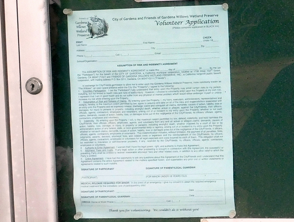
Please consider becoming a member of the Friends of Gardena Willows Wetland Preserve, Inc. and/or volunteering to help this wetland preserve.
For further info:
https://en.wikipedia.org/wiki/Gardena_Willows_Wetland_Preserve
https://www.gardenawillows.org/

Photographs and slideshow editing by Brian Aldrich
(Gardena High School Class of 1973)

